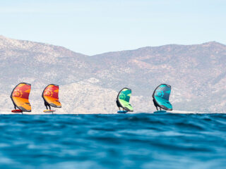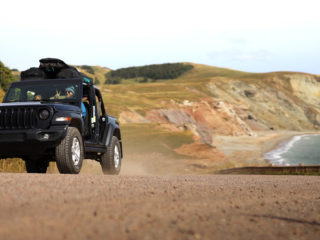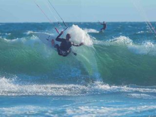
One of the best parts about kiting and winging is the ability to travel the world chasing the wind.
After a couple of years of spending time at your local spot, you may be itching to get out and play in the wind somewhere new! So how do you find the best kite or wing spots? Recommendations from friends are always a great place to start but can also be limiting. Googling can yield so many links and it can be hard to sift through to find quality information. Here are our top tricks and tips for finding a perfectly windy spot.
Access Resources
Heaps of people have written, vlogged, YouTubed, and TikTok about spots all around the world. It can be hard to sift through the information but here are a few resources that have done a lot of the leg work for you:
IKSURFMAG
Arguably one of the most comprehensive resources out there, IKSURFMAG has detailed descriptions of destinations across the globe. You can sort by water temp, size of waves, windiest months of the year, and even the quality of the local internet for those who need to work remotely. Within each destination, there are spot recommendations and sometimes even schools or accommodation suggestions. https://www.iksurfmag.com
Big Air Kite
Looking for the windiest spots on the planet? Look no further than Big Air Kite. They have compiled a list of destinations guaranteed to absolutely nuke, with all spots listed averaging 25 knots or more. Each spot review includes water temp, average daily cost, water conditions (flat, chop, or waves), jumping direction, and how crowded it can get. Also included is internet quality so your kite looping won’t have to interfere with work. https://usa.bigairkite.com/collections/destination-guide
Chile – Is an undiscovered gem filled with wind sport hot spots. Although a bit colder, with the proper Ride Engine wetsuit, the possibilities are infinite.
Peru – This country should be on everyone’s hit list. Winging allows for different exploration of spots that previously were not optimal for other wind sports. Generally, the wind is consistent year-round.
Make sure you have the right wetsuit when you are traveling worldwide.
READ: CHOOSING THE RIGHT WETSUIT HERE
Leverage Data
There are three primary apps on the market that kiters and wingers use to track their sessions. The data gathered can provide valuable insight into where people spend time on the water. Some data is more valuable than others, but here are the apps and how to use them:

Woo Sports
Woo Sports makes the Woo, a small sensor you mount on your board that measures jump height. If you sync it with a smartwatch, it can also measure distance. Recorded sessions can be uploaded to the app, where riders are ranked on leaderboards based on how high they jump. It’s a pretty cool game.
Woo also publishes an interactive map of kite spots. What’s neat about this map is that selecting a given point will tell you how many sessions have been recorded in that spot. By researching spots this way you can determine where most people (who use a Woo) kite. For example, if you search up and down the Oregon coast here are over 40 spots listed but only a handful have more than five sessions recorded. While not foolproof, this is a solid place to see where other people have spent some time in the wind.
Surfr
Surfr also tracks jump height and distance while kiting. Unlike Woo, there is no special equipment needed! You just need to kite or wing with your phone. A waterproof pouch is highly recommended. The Ride Engine Waterproof Pouch has been tested and works great for this. This free app is newer than Woo and is quickly gaining traction for its ease of use and ability to live stream sessions.
They also have a comprehensive site map under the discover section of the app. Each site has the option for reviews, information about the most common wind directions, and the number of recorded sessions. Since Surfr is newer, there isn’t a lot of information on the app yet, but it is undoubtedly a place to keep an eye on and check when hunting for new kite spots.
Strava Heat Maps
This one is kinda sneaky. Many kiters, foilers, and wingers use the popular running and cycling app Strava to track their wind sports sessions. While Strava can’t measure jump height, it does track distance traveled, which can be really cool for downwinders and foilers who go long distances.
Every recorded session in Strava is overlaid onto their map, which creates a heat map. In the app, navigate to the map and you zoom in over water at places where people might kite. In some areas, you can see little lines indicating there is a recorded session there! The darker and more prevalent the lines, the more sessions were recorded at that spot. It’s a cool way to see where people are playing in the wind! https://www.strava.com/